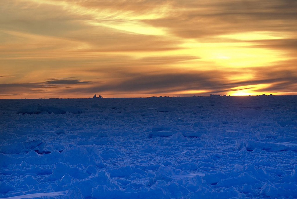
boeghClouds over Greenland accelerated last summer’s melt.
Newly published research suggests that Greenland’s ice melted super fast last summer, and the world’s ice could soon melt faster than anybody had anticipated — all because of pretty white clouds hanging low above frigid seas.
Last year’s Greenland ice sheet melt was considered a 1-in-150 year phenomenon — the most dramatic melting season since 1979. It was cause for alarm because, when ice melts, it turns into water that raises the sea levels. If Greenland’s ice sheet totally disappeared, the seas could swell by an estimated 24 feet, drowning many of the world’s coastal cities.
“Of course, there is more than one cause for such widespread change,” said University of Wisconsin atmospheric and oceanic sciences professor Ralf Bennartz, one of the authors of a study published today in Nature that concludes that the clouds that drifted over Greenland last summer bore properties that could be likened to a perfect ice-melting storm. “We focused our study on certain kinds of low-level clouds.”
At the critical surface melt time, the clouds were optically thick enough and low enough to enhance the downwelling infrared flux at the surface. At the same time they were optically thin enough to allow sufficient solar radiation to penetrate through them and raise surface temperatures above the melting point.
In other words, the clouds were thin enough to allow the rays of the sun to pass through and heat up the ice. But when sunlight bounced off the ice and back into the atmosphere, the clouds were low enough and thick enough to lock in much of the energy.
So what does that mean? Was last year’s rapid melt a freak occurrence that will never happen again?
Unfortunately, no. Instead, last summer’s rapid melt could become a new normal.
The discovery tells us that our climate projections have been flawed because they didn’t account for the effects of this common form of Arctic cloud cover. “[T]hese thin, low-level liquid clouds occur frequently, both over Greenland and across the Arctic, being present around 30–50 per cent of the time,” the Nature paper states.
So we will probably be in for more of these devastating Greenland summers, meaning the seas may rise at an ever-quickening pace that exceeds even current expectations. From a University of Wisconsin press release:
Current climate models tend to underestimate the occurrence of the clouds, ICECAPS [PDF] researchers found, limiting those models’ ability to predict cloud response to Arctic climate change and possible feedback like spiking rates of ice melt.
By using a combination of surface-based observations, remote sensing data, and surface energy-balance models, the study not only delineates the effect of clouds on ice melting, but also shows that this type of cloud is common over both Greenland and across the Arctic, according to Bennartz.
“Above all, this study highlights the importance of continuous and detailed ground-based observations over the Greenland ice sheet and elsewhere,” he says. “Only such detailed observations will lead to a better understanding of the processes that drive Arctic climate. “


